
Double click image to zoom in
Click image to open expanded view
Questions & Answers
Have a Question?
Be the first to ask a question about this.
Hema Maps
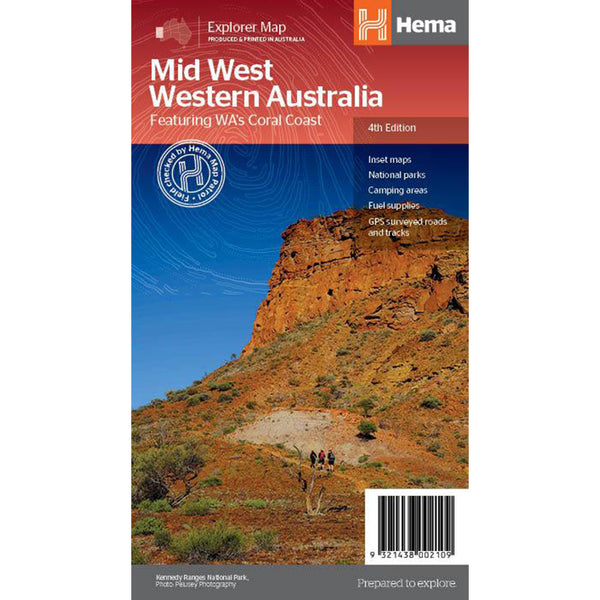
Hema's regional map of Mid West Western Australia covers from Cape Range National Park south to Mandurah and as far as Kalgoorlie at a scale of 1:1,250,000 that has camping areas, national parks, fuel supplies and facility symbols marked on the map.
On the reverse is region-specific touring information for Wildflower country, Goldfields, Batavia Coast, Geraldton to Kalbarri, Gascoyne and the Outback Coast, Carnarvon and the Blowhole Coast as well as the Great Eastern Highway, with detailed inset maps for Cape Range National Park, Kalbarri National Park, Francois Peron National Park, Kennedy Range National Park and Mount Augustus National Park also included. Also featured are the Top 10 4WD Tracks, which include the Holland Track, Cave Hill Circuit, Jaurdi Station, Mount Elvire, Mundaring Powerlines Track, Stockyard Gully & Leseur National Park, Greenough River, Steep Point, Peron Peninsula and Kennedy Range National Park. Each track has a grading, map reference, permits and fees, distances, contact details, things to do and warnings.
Our on-line store is open 24/7 and we ship Monday through Friday, excluding some holidays. Orders received for products without shipping restrictions on its product page will ship the same business day when received before 12:00 p.m. PST. Orders in high demand will have an estimated production time listed on its product page and will ship according to the date listed.
Got a question or need some advice? Reach out—we're real humans who love talking gear. Whether you're planning your next trip or just looking for the right gear, we're always happy to help. Give us a call, send us an email or drop by the store. We’d love to hear from you!
© 2025, Trek & Travel Powered by Shopify